
Hamilton County ZIP Code Coverage
Hamilton County ZIP codes are delivery zones, not a set of matched city districts. The County Auditor's ZIP map supplies the local geographic reference, while USPS confirms delivery for a specific address. The table preserves the service-area context shown by the Auditor map and the county research. A Cincinnati service label can cover a location outside the City of Cincinnati, and a ZIP can cross locality or county context. “Verify” means confirm the exact address with USPS before relying on the label.
| ZIP code | Hamilton County service context | Postal verification note | Boundary or record note |
|---|---|---|---|
| 45001 | Addyston and west river-town area | Cincinnati-area USPS, verify address | West edge; Cincinnati permit records may not apply. |
| 45002 | Cleves, North Bend, and Miami Township portions | Cincinnati-area USPS, verify address | River and west-county delivery zone. |
| 45030 | Harrison and western Hamilton County | Harrison USPS delivery label, verify | Municipal and county boundary area. |
| 45033 | Hooven and Miami Township area | Cincinnati-area USPS, verify address | West-county and rural delivery context. |
| 45041 | Miamitown and Miami Township area | Cincinnati-area USPS, verify address | County map labels this west and northwest area. |
| 45051 | Mount St. Joseph and western county portion | Cincinnati-area USPS, verify address | Use parcel municipality, not ZIP, for jurisdiction. |
| 45052 | North Bend and western county portion | Cincinnati-area USPS, verify address | Border and river delivery geography. |
| 45111 | Camp Dennison and eastern county portion | Cincinnati-area USPS, verify address | Split or locality conditions are possible. |
| 45140 | Loveland and Symmes Township portion | Loveland USPS delivery label, verify | Split ZIP across county and locality context. |
| 45150 | Milford and eastern fringe portion | Milford USPS delivery label, verify | ZIP crosses locality and county context. |
| 45174 | Terrace Park and Little Miami area | Terrace Park USPS delivery label, verify | Small municipal delivery area. |
| 45201 | Downtown Cincinnati special or central service | Cincinnati USPS, verify | Treat as special unless USPS confirms delivery. |
| 45202 | Downtown, riverfront, and central business district | Cincinnati USPS | Core county seat area, not a citywide ZIP. |
| 45203 | West downtown, Queensgate, and adjacent central area | Cincinnati USPS | ZIP geography does not equal a neighborhood boundary. |
| 45204 | West-side and Price Hill-adjacent service area | Cincinnati USPS | Use CAGIS for actual municipal and parcel location. |
| 45205 | Price Hill and west Cincinnati service area | Cincinnati USPS | Historic numbering can affect directory research. |
| 45206 | East Walnut Hills and Walnut Hills vicinity | Cincinnati USPS | Postal and neighborhood borders differ. |
| 45207 | Avondale and Walnut Hills vicinity | Cincinnati USPS | Verify the exact address. |
| 45208 | Hyde Park and Mount Lookout vicinity | Cincinnati USPS | Street and parcel tools identify the actual address. |
| 45209 | Oakley vicinity | Cincinnati USPS | Postal service area, not an ownership filter. |
| 45210 | Lower Price Hill and adjacent central-west area | Cincinnati USPS | Older map and directory numbering can matter. |
| 45211 | Westwood and western Cincinnati vicinity | Cincinnati USPS | Large service area; use a street range to narrow. |
| 45212 | Norwood and adjacent east-central area | Cincinnati USPS | Independent-city context. |
| 45213 | Pleasant Ridge and Kennedy Heights vicinity | Cincinnati USPS | Several neighborhoods can share a delivery zone. |
| 45214 | Over-the-Rhine and central-north vicinity | Cincinnati USPS | Historic street changes are especially relevant. |
| 45215 | Lincoln Heights, Woodlawn, and Wyoming vicinity | Cincinnati USPS | Several municipalities share delivery geography. |
| 45216 | Elmwood Place and north-central vicinity | Cincinnati USPS | Check physical municipality in Auditor and CAGIS. |
| 45217 | Winton Terrace and north-central vicinity | Cincinnati USPS | Parcel and tax district supply local context. |
| 45218 | Lockland and north-central vicinity | Cincinnati USPS | Verify special or local delivery condition. |
| 45219 | Clifton and Corryville vicinity | Cincinnati USPS | Campus and medical-area delivery geography. |
| 45220 | Clifton and university-adjacent vicinity | Cincinnati USPS | Not identical to the University special ZIP. |
| 45221 | University of Cincinnati special service area | Cincinnati USPS and campus context | May be unique or special; use USPS exact address. |
| 45222 | Cincinnati central special or PO service | Cincinnati USPS | Treat as special pending USPS result. |
| 45223 | Northside vicinity | Cincinnati USPS | Use parcel map for street-side jurisdiction. |
| 45224 | College Hill vicinity | Cincinnati USPS | Postal area can include adjacent neighborhoods. |
| 45225 | Camp Washington and north-central vicinity | Cincinnati USPS | Cross-check CAGIS neighborhood and parcel layers. |
| 45226 | Columbia-Tusculum and east-river vicinity | Cincinnati USPS | River and terrain geography affect neighborhood context. |
| 45227 | Madisonville vicinity | Cincinnati USPS | City permit records apply only inside city limits. |
| 45228 | Cincinnati special or PO service | Cincinnati USPS | Verify exact delivery with USPS. |
| 45229 | Bond Hill and Roselawn vicinity | Cincinnati USPS | ZIP is not a City neighborhood boundary. |
| 45230 | Anderson, California, and east-southeast area | Cincinnati USPS | May span City and township area. |
| 45231 | Finneytown and Springfield Township vicinity | Cincinnati USPS | Township and City record custodians differ. |
| 45232 | Winton Hills and Spring Grove vicinity | Cincinnati USPS | Use CAGIS for the exact parcel. |
| 45233 | Delhi and west river area | Cincinnati USPS | Not interchangeable with Cincinnati city limits. |
| 45234 | Cincinnati special or PO service | Cincinnati USPS | Verify actual delivery eligibility. |
| 45235 | Cincinnati special or PO service | Cincinnati USPS | Verify actual delivery eligibility. |
| 45236 | Deer Park and Silverton vicinity | Cincinnati USPS | Multiple municipal contexts. |
| 45237 | Roselawn and Bond Hill vicinity | Cincinnati USPS | Use parcel and tax district for jurisdiction. |
| 45238 | West Price Hill and west-city vicinity | Cincinnati USPS | Street-numbering history can matter. |
| 45239 | White Oak and Mount Airy vicinity | Cincinnati USPS | City and township delivery overlap is possible. |
| 45240 | Forest Park and north-county vicinity | Cincinnati USPS | State table marks county split in some current versions; verify. |
| 45241 | Sharonville and north-county vicinity | Cincinnati USPS | Can cross county and locality delivery context. |
| 45242 | Blue Ash and Montgomery vicinity | Cincinnati USPS | Multiple municipal contexts. |
| 45243 | Madeira and Indian Hill vicinity | Cincinnati USPS | State table notes split-context possibility. |
| 45244 | Newtown and eastern county vicinity | Cincinnati USPS | Current state table marks split ZIP; verify parcel county. |
| 45245 | Eastern regional delivery zone | Cincinnati USPS | Primarily adjacent-county context; verify address or parcel first. |
| 45246 | Springdale and Sharonville vicinity | Cincinnati USPS | Split county and locality context likely; verify address. |
| 45247 | Colerain and northwest vicinity | Cincinnati USPS | Large suburban and township geography. |
| 45248 | Green Township and western vicinity | Cincinnati USPS | Verify municipality for permit or code records. |
| 45249 | Symmes and northeast county vicinity | Cincinnati USPS | Municipal and township delivery context. |
| 45250 | Cincinnati special service | Cincinnati USPS | Verify exact address; do not use as a broad neighborhood label. |
| 45251 | Colerain and northwest vicinity | Cincinnati USPS | Use Auditor street range and parcel data. |
| 45252 | North College Hill and north-central vicinity | Cincinnati USPS | Independent municipal context. |
| 45253 | Cincinnati special service | Cincinnati USPS | Verify exact delivery. |
| 45254 | Cincinnati special service | Cincinnati USPS | Verify exact delivery. |
| 45255 | Anderson and eastern regional service | Cincinnati USPS | State table flags county split context; verify exact address. |
| 45258 | Cincinnati special service | Cincinnati USPS | Verify exact delivery; may not be conventional area ZIP. |
| 45262–45264, 45267–45274, 45280, 45296, 45298–45299 | Special, organizational, or limited Cincinnati-area service | USPS exact-address or ZIP-to-city lookup required | No neighborhood or PO facility is assigned without a fresh USPS result. |
The Auditor ZIP map is useful for a regional view. It is not a legal boundary or current delivery authority. The state ZIP and county table separately signals that some ZIPs have split county context.
Verify Hamilton County ZIP Codes
USPS ZIP Code Lookup is the delivery check for a particular address. Its three modes are By Address, By City and State, and Cities by ZIP Code. The form can request a company name as an optional field and uses the street address, city and state, or ZIP as appropriate to the mode. A postal match helps confirm delivery context. USPS expressly cautions that it does not confirm that a person or company is at the address.
Start with By Address for a known street address. Use By City and State to find ZIP possibilities for a locality, then Cities by ZIP Code to check the postal-city relationship. These are verification steps, not ways to create a Hamilton County resident list. Keep the delivery result separate from the Auditor's situs, the tax-mailing address, and the Recorder's legal-description trail.
Note: A postal city name and a ZIP code can both be correct while the parcel lies outside the City of Cincinnati.
Search Hamilton County by ZIP
A Hamilton County ZIP code narrows an address problem but does not yield a ZIP-wide county parcel or resident result. The Auditor's published initial and advanced forms use owner, street address, parcel ID, sales, and property fields, not a documented ZIP filter. CAGIS Quick Find supports address, parcel, and tax-map mechanisms, not a documented ZIP-wide parcel filter. Use the verified delivery ZIP to confirm the address, then shift to the county's address and parcel systems.
- Verify the delivery ZIP for the exact address through USPS, and preserve the postal city label as a delivery fact.
- Search the address in the Hamilton County Auditor Property Search. Record the situs address, parcel ID, tax district, transfer information, and legal-description text.
- Check CAGIS Online with Address or Parcel ID when parcel location, tax-map context, or precinct geography needs confirmation.
- For a property in Cincinnati, use the municipal address form only for the relevant permit, code, or property record. It is not a county occupancy source.
- Once the address is narrowed to a street, use the Hamilton County street directory workflow for ranges, parcel history, recorded instruments, and older address-first listings.
The sequence keeps the ZIP in its proper role. It validates delivery context first, then lets the parcel establish the property record and the Recorder establish the title-document trail.
Use ZIP in Cincinnati Records
Cincinnati's Accela property lookup is the local portal in the research that explicitly includes a ZIP field. It offers Address, Parcel Information, Owner, and Record Information modes. Its ZIP field belongs to a municipal property and permit-record search, so it can help refine a City of Cincinnati record request but does not establish residence or cover all of Hamilton County.
| Accela address field | Input type | Use |
|---|---|---|
| Low and high street number | Address range | Matches a specific number or range for a municipal record. |
| Direction, street name, street type | Address parts | Separates similarly named streets and their suffixes. |
| Unit number and unit type | Unit detail | Refines a specific unit when the municipal record has it. |
| City, state, ZIP | Location fields | Supplies municipal address context, including the ZIP field. |
| Census block group, tract, 2020 block | Geographic fields | Additional City address geography, not a parcel-title key. |
Check the property jurisdiction first. A Hamilton County parcel in another municipality or a township can have a different records custodian, so no Cincinnati Accela result does not mean that no local record exists.
Read Hamilton County ZIP Labels
Three address expressions serve different record systems. A situs address is the physical property address. A mailing or tax-bill address is where correspondence is sent and can differ from the situs. A legal description is the tract, lot, subdivision, or metes-and-bounds identity recorded in title documents. The Auditor makes street-address discovery easier, the Recorder relies on party names, legal descriptions, book/page, and Auditor number, and USPS determines delivery ZIP.
- ZIP code and ZIP+4
- A ZIP code identifies a delivery area. ZIP+4 adds a more specific delivery segment, but neither proves who receives mail at an address.
- PO-box ZIP
- A ZIP used for post-office-box service. It should not be assumed to describe a conventional street area.
- Unique ZIP
- A ZIP associated with a particular organization, campus, or special service. Verify its delivery use with USPS.
- Carrier route
- A postal delivery sequence or route. It is not a parcel boundary, municipal line, or public household roster.
Most Hamilton County parcel numbers are 13 characters. Acclaim's example shows the Auditor number in dashed book, plat, and parcel units. Those are record keys for parcel and document work, whereas a ZIP is a delivery attribute.
Hamilton County ZIP Geography
Several map systems overlap in Hamilton County. ZIPs describe delivery; municipal borders establish a City of Cincinnati or other local jurisdiction; Auditor and CAGIS layers describe parcels and tax context; precinct layers describe election geography. These systems should not be swapped for one another. A parcel in Anderson, Symmes, Green, Delhi, Blue Ash, Norwood, or another community can use a Cincinnati-area postal label without being a Cincinnati municipal address.
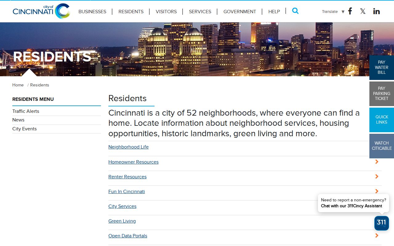
Cincinnati's residents resource page is shown below as a municipal context source. It is useful alongside the postal and parcel tools, but it does not change USPS delivery authority or define every Hamilton County ZIP boundary.
Use CAGIS and the Auditor parcel record when the question is which local government or tax district applies to a site. Use USPS when the question is the exact ZIP for delivery.
Hamilton County ZIP Split Context
The state ZIP and county report marks some delivery areas as split across counties. The local research specifically flags 45140, 45150, 45240, 45243, 45244, 45246, and 45255 for split or cross-locality context, while 45245 is primarily an adjacent-county delivery area. This does not make the ZIP wrong. It means county and jurisdiction must be confirmed from the address and parcel rather than assumed from the five digits.
For a deed, tax, court, permit, or public-record question, establish the Hamilton County parcel first. Then identify the relevant custodian. This prevents a delivery label from sending a search to the wrong municipality or county office.
Note: The state table and Auditor map provide geographic context, while USPS remains the controlling delivery check for a specific address.
Hamilton County ZIP Code Myth
A ZIP code does not prove that a person or company is at an address. USPS makes that warning explicit. It also does not turn the Auditor property search, CAGIS map, or Cincinnati Accela form into a ZIP-based list of residents. A current owner, a tax-bill recipient, a permit applicant, and a historical directory listing are separate public record roles with separate dates.
For personal, lawful research, report the source and its role: postal delivery result, parcel situs, tax-mail label, recorded party, or municipal case record. Do not use a ZIP or public record trail to stalk, harass, intimidate, or harm anyone.