
Hamilton County Neighbors: Block Record Sources
A useful block search combines geographic and record evidence without turning either into a household roster. Start with the parcel map to identify the subject and surrounding mapped parcels. Then open the Auditor property report for each selected parcel. Deed records add a dated title trail, while Criss-Cross directories can provide a historical listed name for an address. Precinct layers and community councils describe geography, not a complete roll of people who live nearby.
| Block source | What it can establish | Access and limit |
|---|---|---|
| CAGIS Online | Mapped parcel position, visible adjacency, and map layers | Public map; graphical parcel boundaries are approximate, not survey proof. |
| Auditor property record | Parcel, situs address, owner and tax-mail labels, transfers, and property data | Free public roll; it does not identify household membership. |
| Recorder Acclaim | Deed, mortgage, lien, legal-description, and party history | Work by parcel, party, legal description, or book and page. |
| CHPL Criss-Cross directories | A historical address-to-listed-name route | Dated library evidence, not a modern neighbor list. |
| BOE and CAGIS precinct material | Precinct geography and public list products | Protected voter and nonvoter boundaries still apply. |
Keep each source in its own time frame. A current parcel report and a directory entry from a prior year should never be silently blended. If a parcel has been split, combined, or changed by later development, the legal-description and transfer trail may explain why an earlier street label no longer lines up with the current map.
Map Hamilton County Neighbors in CAGIS
CAGIS is the geographic starting point for a short block review. Use Quick Find with an address or parcel ID, turn on the parcel layer, and select the subject parcel. Then click the immediately surrounding visible parcels and follow the property-report link to the Auditor. This is an adjacent-parcel method. It does not decide every legal boundary, and it does not make a claim that every name on a nearby property record lives on the block.
- Locate the subject with CAGIS Quick Find by address or parcel ID and note the parcel number, situs address, and map position.
- Select each adjacent mapped parcel, then open its Auditor property report rather than relying on the map label alone.
- Record the parcel identifier, current situs address, owner or tax-mail role, source date, and any transfer reference as separate fields.
- Use the Recorder only after the parcel or legal-description link is identified. For a whole named street, use the fuller Hamilton County By Street workflow.
The map is a navigation aid. CAGIS instructions allow address, parcel ID, and tax-map routes, and the selected parcel can lead to property data. A parcel beside an alley, rail line, river edge, condominium regime, or later subdivision may look close on screen while having a different legal relationship. Compare the report's parcel ID with the selected map parcel before recording an adjacency result.
Note: Describe a result as adjacent mapped parcels reviewed on a stated date, not as a permanent or complete set of Hamilton County neighbors.
Hamilton County Neighbor Myth: Owners Are Occupants
The property screen uses distinct labels that must stay distinct in a neighbor lookup. A mapped parcel is the geographic unit. A situs address is its physical location. An owner or tax-mail label identifies the role used for property and tax correspondence. A historical directory listing is a dated publication entry. The same person may appear in none, one, or several of these roles at different times.
- Mapped parcel
- The defined parcel selected in the GIS view. It is the starting unit for a block comparison.
- Situs address
- The physical address associated with the parcel, which can differ from a mailing address.
- Owner or tax-mail label
- A property-record role and correspondence label, not an assertion of who is present at the site.
- Historical directory listing
- A name printed for an address in a particular directory year, subject to that publication's coverage and conventions.
This distinction is practical as well as fair. Owner Occupancy Credit and Homestead are property-card fields or tax-credit programs, not a full list of people. Utility, delivery, and unrecorded household information are not part of the County property search.
Hamilton County Neighbors by Nearby Property Search
CAGIS supplies a visual cross-check, while the Auditor Advanced search provides a tabular nearby-record route. The form includes Origin Property Key and Feet from Origin controls for records within a stated distance of an origin property key. Use a restrained distance and compare the resulting parcel IDs with the map selection. This helps catch a nearby parcel that may be visually hard to select, but the result still belongs to the public property roll rather than a list of residents.
| Auditor control | Use for a block review |
|---|---|
| Origin Property Key | Identifies the subject property used as the nearby-search origin. |
| Feet from Origin | Sets the stated distance for the nearby-record cross-check. |
| Parcel Number | Confirms a selected record; most County parcel numbers are 13 characters. |
| Transfer Date and Document Book/Page | Helps route a dated parcel result into the Recorder trail. |
The Auditor limits results to the first 1,000. Split a wide area or tighten the criteria before treating the response as useful. The portal's owner, street-address, parcel-ID, sales, and advanced methods solve different tasks. A street range can identify a parcel sequence, but it cannot establish every person at those addresses.
Hamilton County Neighbors in Deeds and Directories
For a past block snapshot, take a parcel's transfer line or legal description to Recorder Acclaim and inspect the instruments by auditor number, party, legal description, or book and page. Acclaim indexes reach 1789, but the Recorder directs older research to the historic grantor and grantee books when the routine name workflow stops. A title party identifies a recorded role at a dated transaction, not necessarily an occupant.
CHPL's address-first directory sources are the historical household layer. Pink Pages began in 1925 and listed street addresses in order; the title became Criss-Cross Directory in 1941. Pair a directory year with the Recorder trail and period census rather than moving a printed name forward into the present. Cincinnati's broad street-number change in 1895 means an older address should be checked against the period maps or the Recorder's 1913 street index before it is joined to a modern parcel.
When a parcel line, lot, or address changes, preserve the old and new labels with their dates. The strongest historical result is a time-labeled sequence of parcel, instrument, directory year, and census year, not a single mixed list of Hamilton County neighbors.
Hamilton County Neighbors and Precinct Geography
Precinct geography can explain which election district includes an address. In CAGIS, open Map Layers and choose Voting Districts to display precinct and district context around a parcel. The Hamilton County Board of Elections also provides public registered-voter and absentee-voter list materials by district, precinct, and party, plus precinct and district map links. Those are statutory public-record channels, not a way to infer every person who does or does not live on a block.
The Board of Elections campaign-media resources illustrate the public list and map route.
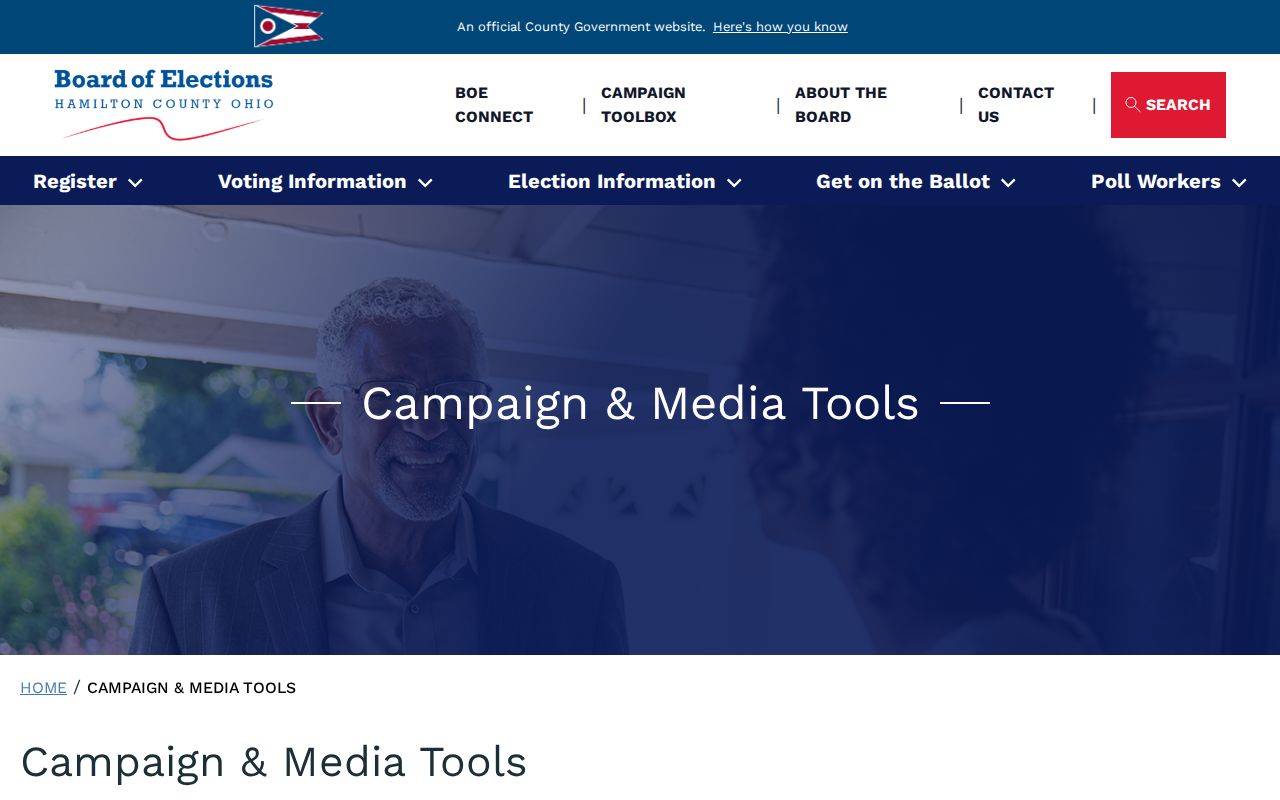
Ohio's individual lookup is designed for a person's registration status, precinct, and polling location. R.C. 3503.13 excludes protected information such as full or partial Social Security number, driver or state ID number, telephone, email, Safe at Home material, and protected addresses. R.C. 3503.26 also sets an inspection and copying framework for precinct lists, with the stated election-period interference limit. Never infer ballot choices from public participation data.
Cincinnati Community Councils Near Hamilton County Blocks
Community councils are a useful civic-geography layer once the parcel's municipality and map context are known. The City says Invest in Neighborhoods supports 51 community councils. The council-boundary data describes these as voluntary, non-governmental organizations. Their public meeting, contact, or neighborhood information can help identify a relevant civic organization, but it cannot be treated as a membership roster or personal-address record.
| Community source | What it contributes | Boundary to keep |
|---|---|---|
| City community resources | City resource information and the Invest in Neighborhoods connection to 51 councils | Voluntary organizations, not a government resident registry. |
| CAGIS community-council boundaries | Geographic layer for locating the relevant council area | Adjacent council boundaries can overlap and the City does not mediate differences. |
| Individual council public material | Public meetings, contact, or neighborhood activity when provided by that council | Do not assume a public page lists every neighbor or proves a household connection. |
The City-backed boundary dataset shows the geographic layer used to place a parcel in this civic context.
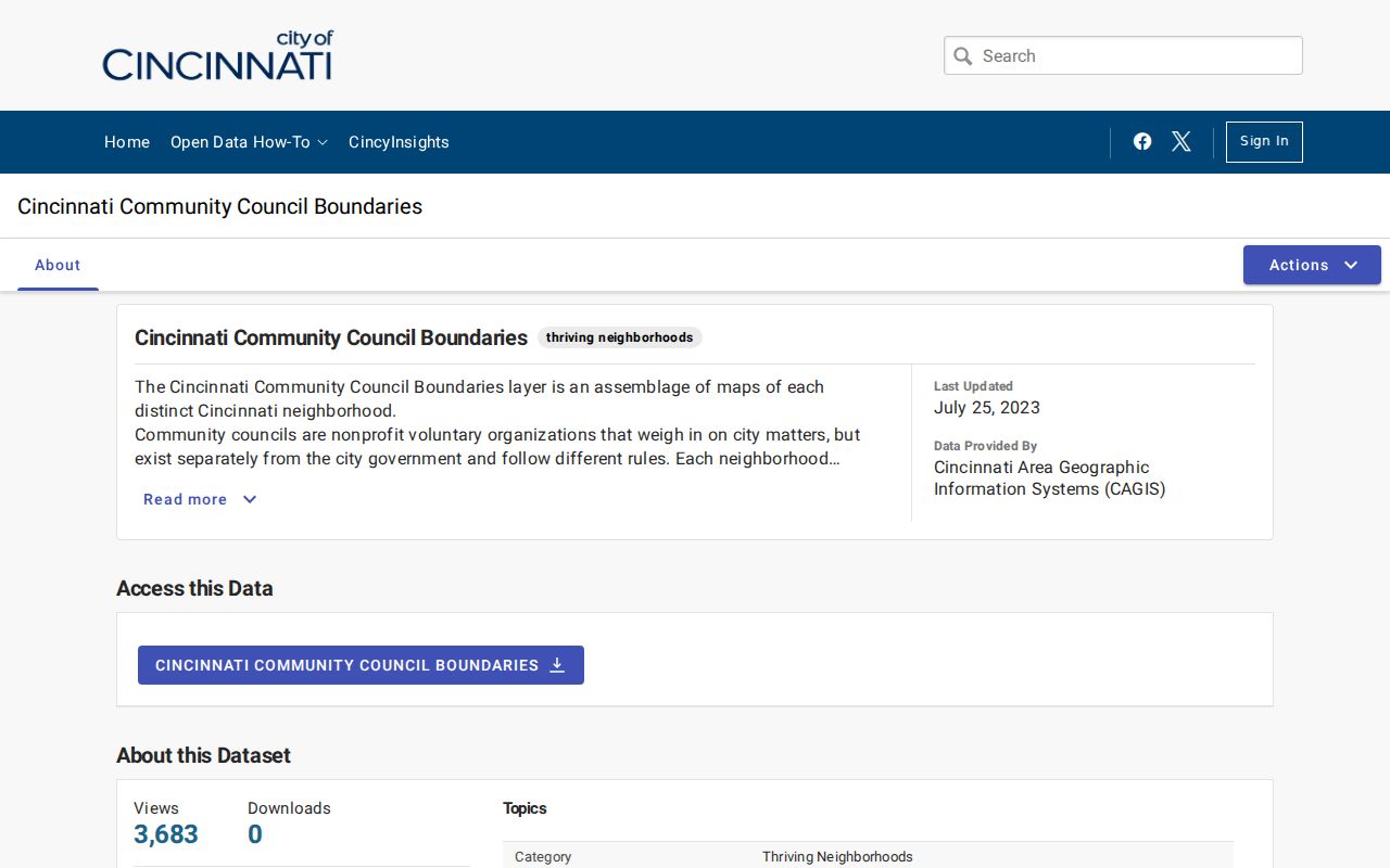
Community-council boundaries, Census or statistical neighborhoods, municipal borders, and postal zones are different map systems. A parcel can be near more than one civic boundary without a conflict in the property record.
The City's community-resources page provides the supporting council context.
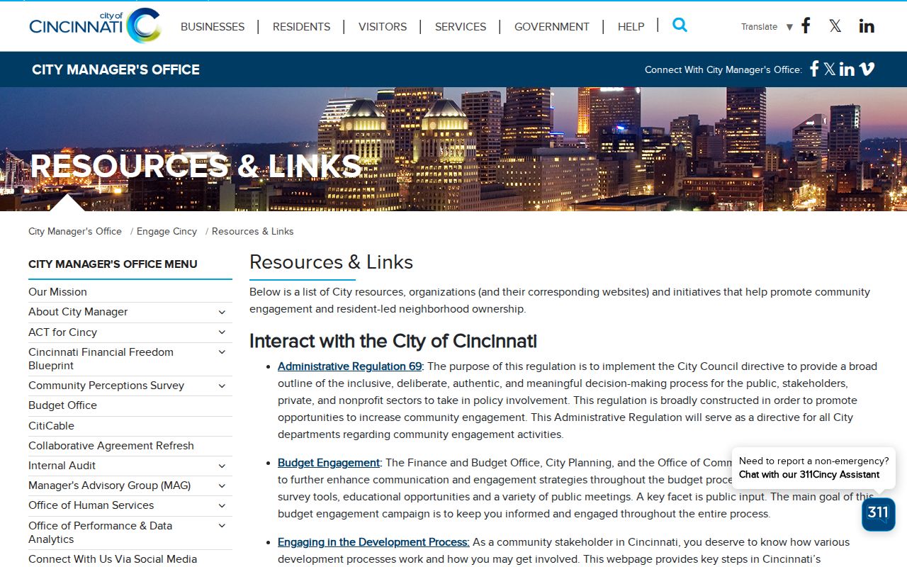
Use the resource to find civic geography and public meeting information, then let a property, court, or election custodian answer any separate record question.
Official Records and Compiled Neighbor Tools
Official sources disclose their record purpose and their limits. A commercial compiled neighbor tool may combine older public material into a convenient display, but it can carry stale dates, identity collisions, and its own correction process. It is not the authority for a parcel, court, election, or deed conclusion. Return to the custodian for the source record and compare its date and role.
| Source category | Useful for | Do not treat it as |
|---|---|---|
| County parcel, Recorder, and court records | Specified, dated official record roles and document trails | A complete present-household directory. |
| CAGIS and election geography | Parcel position, nearby geographic context, and precinct area | Survey proof or a complete list of people at addresses. |
| Commercial compiled tools | A possible lead requiring independent confirmation | Proof of identity, current residence, or a substitute for the custodian. |
Recorder's free recording-notification service is a separate consumer-safety tool. It alerts an enrollee to new recordings after enrollment and does not prevent a recording or resolve title. It can monitor up to five exact name variations for one email address, so it is not a parcel-wide alert for all Hamilton County neighbors.
The Recorder recording-notification service is shown below.
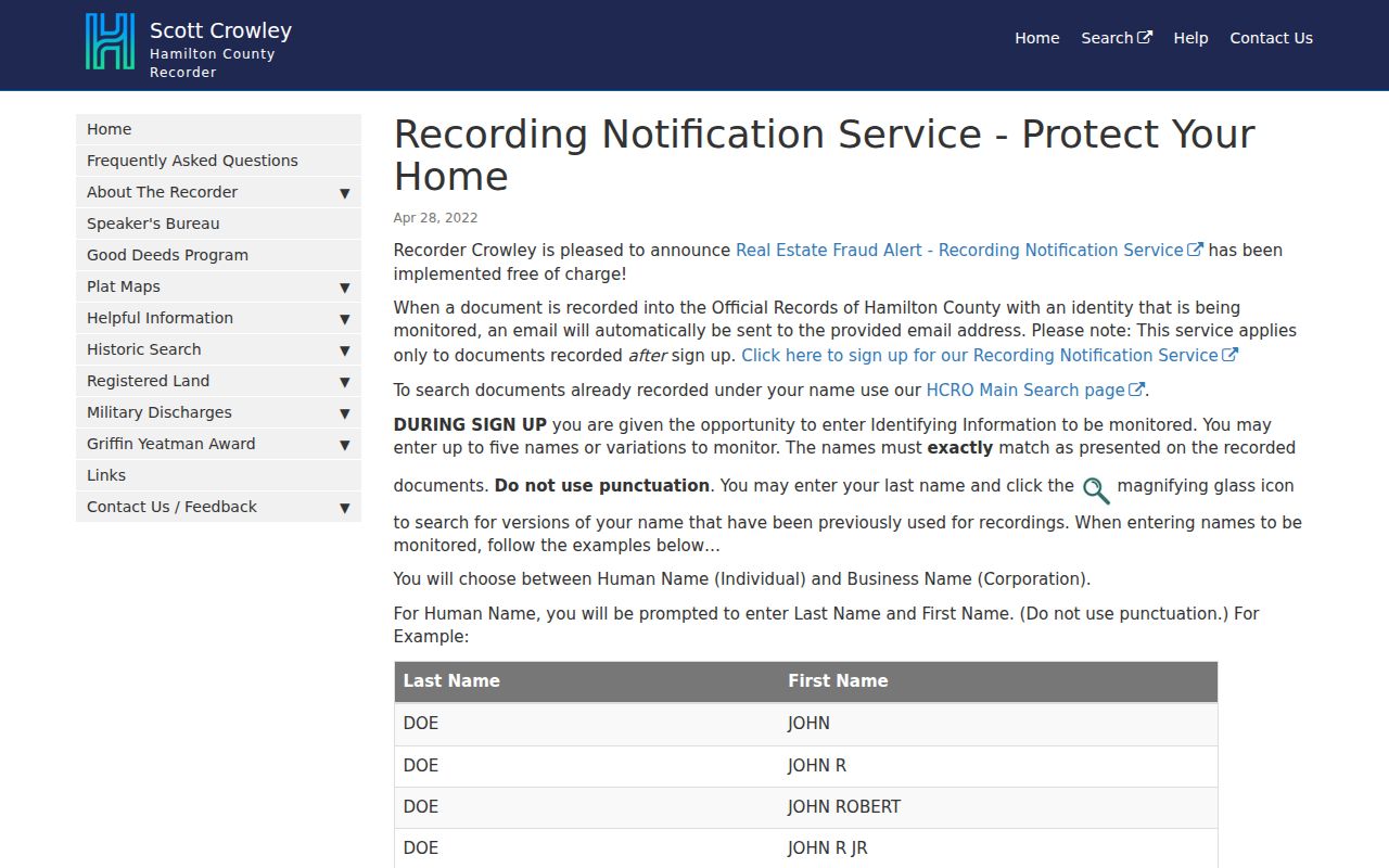
Use a document alert as a prompt to inspect the recorded detail and confirm it with the Recorder. It is not evidence about occupancy or a reason to publicize information about a nearby parcel.
Hamilton County Neighbor Lookup Privacy Limits
Some information stays private even when a parcel is visible on a map. Utility and delivery records, nonpublic motor-vehicle data, protected voter location, sealed court files, and unrecorded household information are not made public by the block method. Ohio Safe at Home and protected voter provisions can limit the address material a public record shows. A missing item can reflect a protected record, a different custodian, or a records boundary, not proof that no one is connected to an address.
Use a narrow public-record request only after online and counter routes are exhausted. Identify the record class, parcel number, approximate period, and copy format. An open-ended request for every person at an address does not match a discrete County record set. For an error in a public record, ask the office that created or maintains it about the correction process.
Lawful use. Use Hamilton County neighbor records for personal, lawful research and civic context. Do not use names, addresses, map results, or record details to stalk, harass, threaten, or intimidate anyone.